Details and Metadata
Printer-friendly version View XML version Download Ecological Metadata Language file
Methods
The methods followed in the creation of the dataset, including description of field, laboratory and processing steps, and quality control procedures
No methods recorded for this dataset
Dataset Fields
Detailed documentation of the fields comprising the dataset, including the type of measurement, units where applicable, and any controlled vocabularies or code lists present in the data
| Field Name | Caption | Description | Additional Information |
|---|---|---|---|
| ObjectID | Object ID | Identification code used to distinguish between unique polygons | Nominal |
| Shape | Shape | Shape the feature is | Nominal |
| RPT_YR | Survey Year | Year the survey was recorded | DateTime Date/Time Format: YYYY |
| State | State | Abbreviation of States | Nominal |
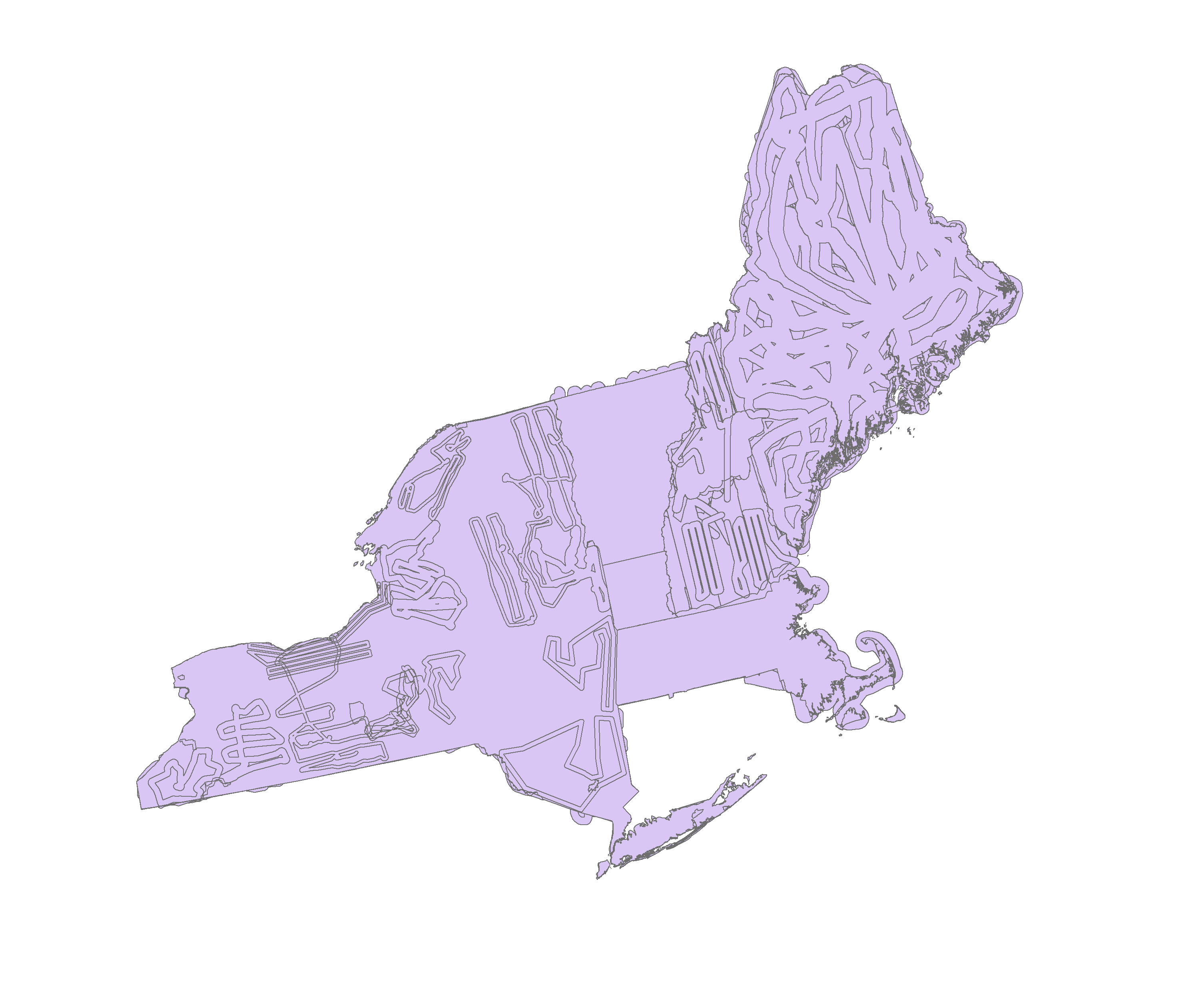
| Area_HA | Area Flown (ha) | Area Surveyed | Ratio Unit: hectare |
| Shape_Length | Shape Length | Length of the shape of the area surveyed | Ratio Unit: hectare |
| Shape_Area | Shape Area | Area of feature in internal units squared | Ratio Unit: hectare |
Sampling Equipment
Equipment and software used to collect data, including how that equipment was used.
No sampling equipment recorded for this dataset
Site Characteristics
The spatial extent of the dataset site coverage, and descriptions of the spatial extent and context for the data collection
No site characteristics recorded for this dataset
Dataset Notes
Notes describing any special conditions or considerations for understanding the quality and consistency of the data
| Start Date | End Date | Note | Date Entered |
|---|---|---|---|
| 2017-10-31 00:00:00 | 2017-10-31 23:59:59 | Users need to exercise caution regarding the spatial accuracy of these data due to the subjective nature of aerial sketchmapping and the varying scales of source materials. Comparison with other datasets for the same area from other time periods may be inaccurate due to inconsistencies resulting from rounding of decimal coordinates during conversion, changes in mapping conventions over time, change in assignment of damage casual agent, and type of data collection. Any products (hardcopy or electronic) using these data sets shall clearly indicate their source. If the user has modified the data in any way, they are obligated to describe the modifications on all products. The user specifically agrees not to misrepresent these data sets, nor to imply that changes made were approved by the USDA Forest Service. | 2017-10-31 11:27:27 |


 Details