Dataset Overview
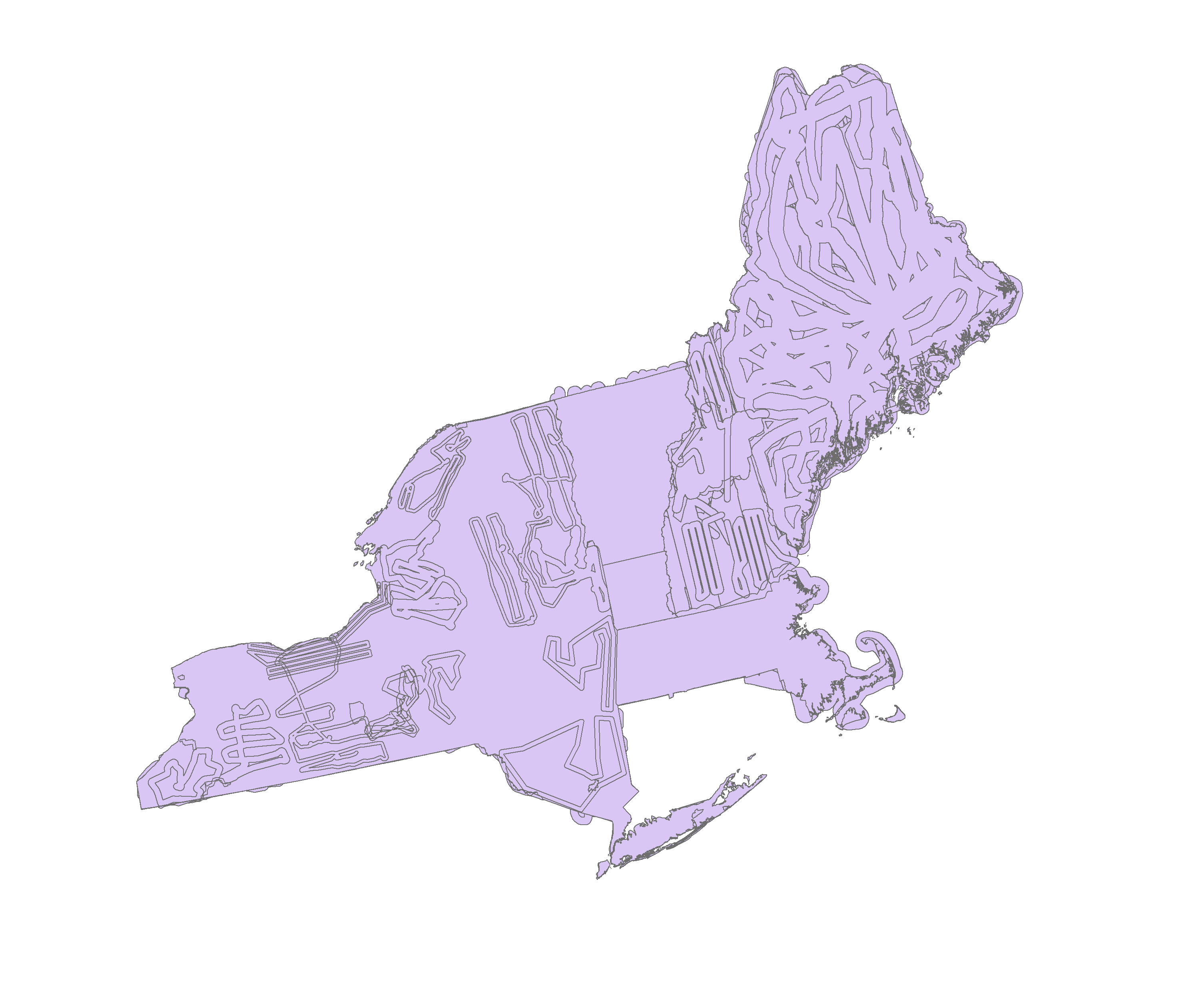
To accompany the National Aerial Survey Spatial Database - Damage dataset. This dataset will allow users to differentiate areas that were surveyed and have no damage to those that were not surveyed.
- Purpose
This dataset gives information about individual aerial survey missions. Information includes agency responsible for the survey, dates, and purpose.
- Data Collection Status
-
Data collection for this dataset is ongoing
- Start date
1997-01-01
- Data Availability
-
Available for download
- Data License
- Preferred Citation
Forest Ecosystem Monitoring Cooperative and the Northeastern States Research Cooperative (2017) General Survey Mission Information (Flown/Not Flown). FEMC. Available online at: https://www.uvm.edu/femc/data/archive/project/northeastern_ads/dataset/general-survey-mission-information-flownnot-flown
- Update Frequency
As needed
- Maintenance Plan
FEMC will update the data as it becomes available.
- Links
-
No links available for this dataset
- Related Datasets
- Determining Dataset Similarity
- Previous Versions
-
- Version 2 - Combined_FNF_through2018 (created 2019-09-25 by Emma Tait)
- Version 1 - RegionalFNF_1918_2018 (created 2019-09-09 by Emma Tait)


 Details