Details and Metadata
Printer-friendly version View XML version Download Ecological Metadata Language file
Methods
The methods followed in the creation of the dataset, including description of field, laboratory and processing steps, and quality control procedures
Current Methods
Site establishment and measurements
Started: 1992-06-01An 8.8 ha population monitoring plot was established south of the summit of the mountain in 1992, where 5-30 m radius circles per forest type were used for point counts and habitat plots. This ranged in elevation from 1160-1200 m, in krummholz and spruce-fir forests. Measurements included species, frequency, sighting locations, habitat measurements.
Additional Plots 1995
Started: 1995-06-01Additional plots added in 1995: a 20 ha plot in Ranch Valley, and a 20 ha plot at a lower elevation in the Nose Dive Pod area. Elevation range expanded to 885-1200 m. 25 m grid sampling points used. Measurement include: population density, territory dispersion, sighting locations and movements of known-identity individuals, habitat measurements, survival and productivity and site fidelity.
Additional Plot 1996
Started: 1995-06-01An additional plot was added in 1996: a 10 ha plot northeast of the Forehead, off the Long Trail in spruce-fir forest.
Reduced Plot 1997
Started: 1998-06-01Nose Pod Dive plot discontinued after 1997.
Mist nets and vocal lures
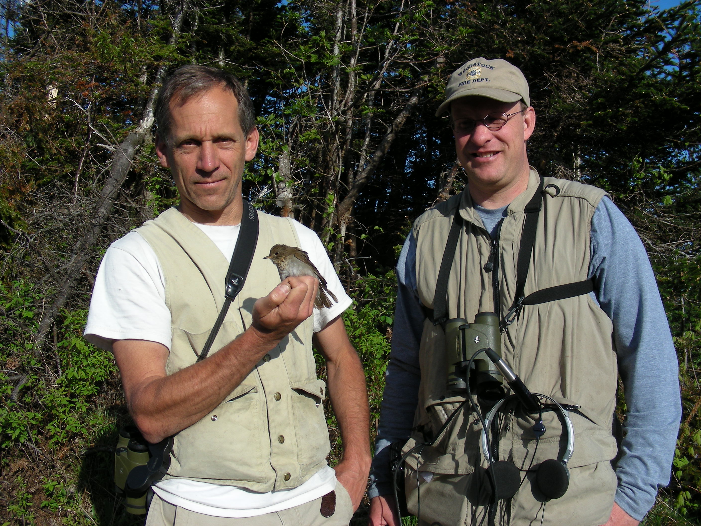
Started: 1992-06-01Strategically placed mist nets were deployed on two plots (Mansfield ridgeline and Octagon) in combination with tape recorded playbacks of Bicknell's Thrush vocalizations to attempt to capture and color band Bicknell’s Thrushes.
Passive mist nets and metrics collected
Started: 1992-06-01Up to 30 mist nets were used simultaneously to passively capture thrushes as a complement to the use of vocal lures. Detailed mensural (e.g., wing chord, weight, tarsus, culmen) and body condition (e.g., subcutaneous fat, molt, feather wear) data were recorded for all captured birds. Sex was determined by status of cloacal protuberance and brood patch. Individuals were aged, too.
Banding
Started: 1992-06-01Each individual was banded with a numbered aluminum band and three color bands to uniquely identify birds for resighting.
Dataset Fields
Detailed documentation of the fields comprising the dataset, including the type of measurement, units where applicable, and any controlled vocabularies or code lists present in the data
Field Name Caption Description Additional Information bandnum Band Number Bird band ID number
Nominal Date Date Date bird was captured for banding
DateTime Date/Time Format: age Age Age of bird when captured for banding
Nominal sex Sex Sex of bird in numeric code
Nominal LOC Location Location where bird was captured
NominalPlot Location Names
+ showAppears in data as Meaning of code FORE Forehead MANS Mansfield moderately disturbed ridgeline OCTA Octagon near restauraut RABR Ranch Brook relatively undisturbed habitat NDPO Nose Dive Pod area Sampling Equipment
Equipment and software used to collect data, including how that equipment was used.
No sampling equipment recorded for this dataset
Site Characteristics
The spatial extent of the dataset site coverage, and descriptions of the spatial extent and context for the data collection
- Site Description
Mount Mansfield summit ridgeline and east slope. Elevation range: 885-1200 m. Krummholz, larger stature spruce-fir, and transitional forest types.
Minimum Altitude: 885 meters
Maximum Altitude: 1200 meters
- Site Description
From 1992-2000 on Mt. Mansfield birds were captured on a 14 ha area on the ridgeline (Ridge subplot) at 1150-1200 m elevation and on a 19 ha area on the east slope (Octagon subplot) at 915-1100 m elevation. Both areas contained a gravel access road, several small buildings, and hiking trails with the addition of ski trail development through the Octagon area.
Minimum Altitude: 915 meters
Maximum Altitude: 1200 meters
- Site Description
The study site was located on Mount Mansfield (44º 32' N, 72º 49'W) in Vermont, USA between 900-1200m elevation in montane fir forest. These sites have a mixed canopy dominated by balsam fir, with lesser amounts of white birch (Betula papyrifera var. cordifolia) and mountain ash (Sorbus spp.). The mountain containa areas altered by ski area development and unmanaged, natural areas. Focal species were found in both unaltered and altered habitat.
Minimum Altitude: 900 meters
Maximum Altitude: 1200 meters

