Details and Metadata
Printer-friendly version View XML version Download Ecological Metadata Language file
Methods
The methods followed in the creation of the dataset, including description of field, laboratory and processing steps, and quality control procedures
Past Methods (No longer in use)
- Field collection
Started: 2005-08-01
Ended: 2015-03-03Samples are collected from a heated chamber by field operators using clean techniques.For detailed information go to: Full documentation
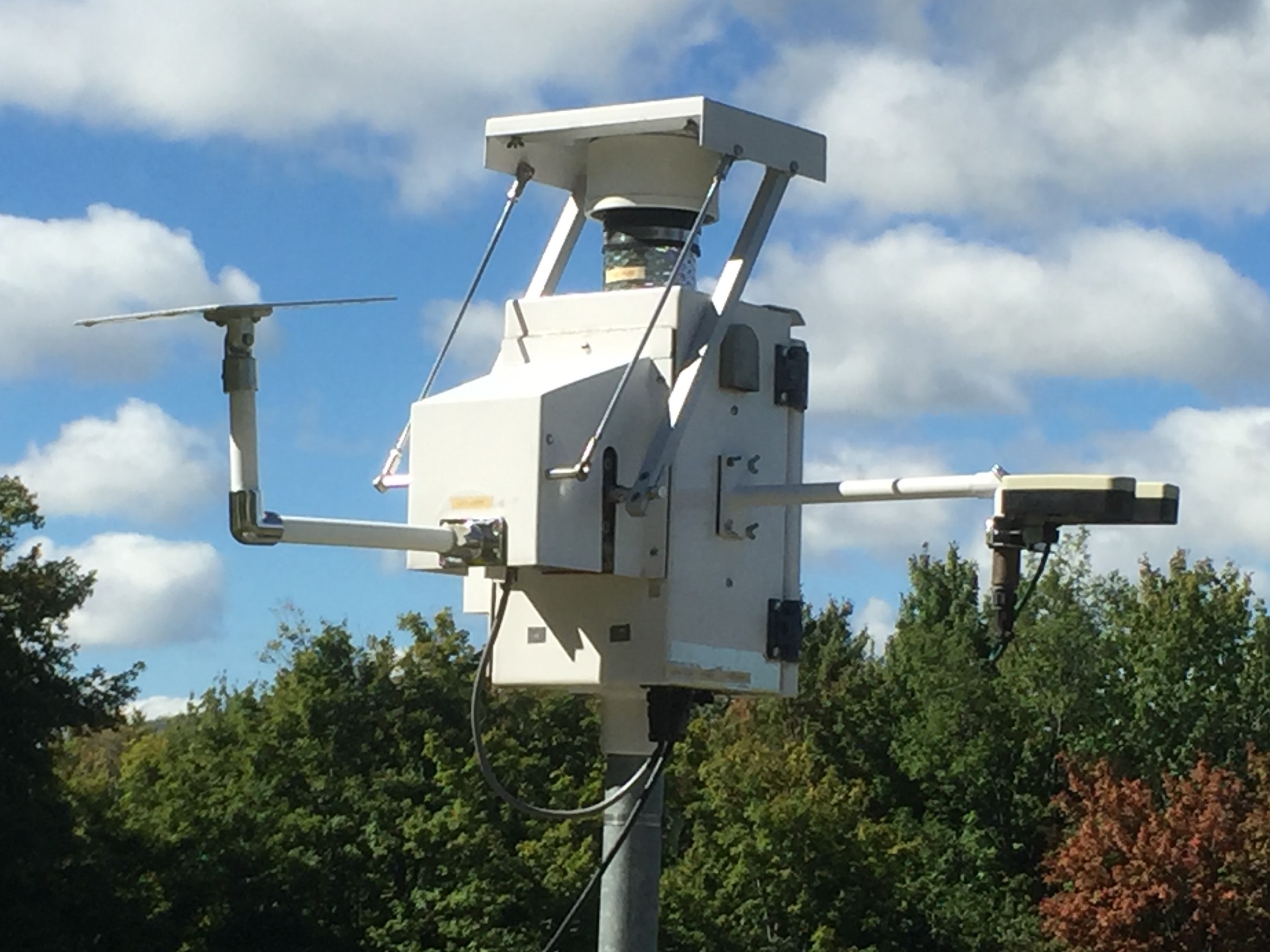
Instrumentation: N-CON collector
- Rain gage data
Started: 2005-08-01
Ended: 2015-03-03Rainfall is recorded to the nearest 0.01 inch and sampler opening and closing functions are checked. For details go to Full documentation
Instrumentation: N-CON collector
- Lab analysis
Started: 2005-08-01
Ended: 2015-03-03Samples are packed in protective coolers and sent to the MDN laboratory, Eurofins Frontier Global Sciences, Inc. in Seattle Washington, aka HAL (Hg Analystical Laboratory). For more details see Full documentation
Dataset Fields
Detailed documentation of the fields comprising the dataset, including the type of measurement, units where applicable, and any controlled vocabularies or code lists present in the data
| Field Name | Caption | Description | Additional Information | ||||
|---|---|---|---|---|---|---|---|
| Analysis_Aliquot_Vol | Analysis of Aliquot Volume | Size of aliquot taken for analysis | Ratio Units: millileters Precision: 0.1 | ||||
| Bottle | Bottle | Ratio Units: inches Precision: 0.01 | |||||
| Bottle_ID | Bottle ID | Unique idenifying number for the sample bottle | Nominal | ||||
| Capture | Capture | ||||||
| Collection_End_Date | Collection End Date | Date on which the event or collection period ended | DateTime Date/Time Format: M/D/YYYY | ||||
| Gauge | Precipitation Gauge | Total amount of precipitation collected during sampling period | Ratio Units: inches Precision: 0.01 | ||||
| Hg_per_Aliquot | Hg per Aliquot | Mercury | Ratio Units: nanograms Precision: 0.001 | ||||
| Lab_remarks | Lab Remarks | Notes from lab and field sample handlers on issues with sample | Nominal | ||||
| Notes | Notes | Codes for sample collection problems | NominalMDN Sample Problem Codes + show
| ||||
| Precip_Hg_Conc | Precip Hg Conc | Concentration of mercury in precipitation sample | Ratio Units: nanograms per liter Precision: 0.01 | ||||
| Precip_Vol | Precip Vol | Amount of precipitation collected during sampling event | Ratio Units: milliliters Precision: 0.1 | ||||
| QR | Quality Rating | Code for quality of sample A=fully qualified with no problems; B=valid data with minor problems, used for summary statistics; C=invalid data, not used for summary statistics; - =no data submitted for this time period. | Nominal | ||||
| Sample_Type | Sample Type | Type of sample, see code list | Nominal | ||||
| Site_ID | Site ID | Site ID; VT98 is the site code for N-CON in Underhill VT | Nominal | ||||
| Weekly_Hg_Deposition | Weekly Hg Deposition | Weekly Mercury Deposition | Ratio Units: nanograms per liter Precision: 0.1 |
Sampling Equipment
Equipment and software used to collect data, including how that equipment was used.
Current Equipment
Weekly sampling
Started: 2012-10-29Samples were collected and shipped on a weekly basis.
Frequency: Weekly
Past Sampling Equipment (No longer in use)
Event based sampling
Started: 2005-08-01
Ended: 2012-10-29Samples were collected after each precipitation event
Site Characteristics
The spatial extent of the dataset site coverage, and descriptions of the spatial extent and context for the data collection
- Site Description
West slope of Mount Mansfield in an open field at the Proctor Maple Research Center. Site has a west aspect and an 8% slope. Elevation approximately 1300 feet.
Minimum Altitude: 390 meters
Maximum Altitude: 400 meters


 Details