Details and Metadata
Printer-friendly version View XML version Download Ecological Metadata Language file
Methods
The methods followed in the creation of the dataset, including description of field, laboratory and processing steps, and quality control procedures
No methods recorded for this dataset
Dataset Fields
Detailed documentation of the fields comprising the dataset, including the type of measurement, units where applicable, and any controlled vocabularies or code lists present in the data
| Field Name | Caption | Description | Additional Information | ||||||||||||||||||||||||||
|---|---|---|---|---|---|---|---|---|---|---|---|---|---|---|---|---|---|---|---|---|---|---|---|---|---|---|---|---|---|
| Area_ha | Area (ha) | Calculated hectares based on acre | Interval Unit: hectare | ||||||||||||||||||||||||||
| DCA1 | DCA1 | Damage Agent Code (Federal) | Nominal | ||||||||||||||||||||||||||
| DCA2 | DCA2 | Damage Agent Code (Federal) | Nominal | ||||||||||||||||||||||||||
| DCA3 | DCA3 | Damage Agent Code (Federal) | Nominal | ||||||||||||||||||||||||||
| DMG_TYPE1 | Damage Type 1 | Damage type in federal code | NominalDamage Type Codes + show
| ||||||||||||||||||||||||||
| DMG_TYPE2 | Damage Type 2 | Damage type in federal code | NominalDamage Type Codes + show
| ||||||||||||||||||||||||||
| DMG_TYPE3 | Damage Type 3 | Damage type in federal code | NominalDamage Type Codes + show
| ||||||||||||||||||||||||||
| FOR_TYPE1 | Forest Type Code 1 (Federal) | Federal code for primary forest type | Nominal | ||||||||||||||||||||||||||
| FOR_TYPE2 | Forest Type Code 2 (Federal) | Federal code for secondary forest type | Nominal | ||||||||||||||||||||||||||
| FOR_TYPE3 | Forest Type Code 3 (Federal) | Federal code for tertiary forest type | Nominal | ||||||||||||||||||||||||||
| HOST1 | Host Tree Species Code 1 (Federal) | Federal code for primary host tree species | Nominal | ||||||||||||||||||||||||||
| HOST2 | Host Tree Species Code 2 (Federal) | Federal code for secondary host tree species | Nominal | ||||||||||||||||||||||||||
| HOST3 | Host Tree Species Code 3 (Federal) | Federal code for tertiary host tree species | Nominal | ||||||||||||||||||||||||||
| NO_TREES1 | Number of Dead Trees 1 (Federal) | Federal coding for number of dead trees detected- measure of mortality | Nominal | ||||||||||||||||||||||||||
| NO_TREES2 | Number of Dead Trees 2 (Federal) | Federal coding for number of dead trees detected- measure of mortality | Nominal | ||||||||||||||||||||||||||
| NO_TREES3 | Number of Dead Trees 3 (Federal) | Federal coding for number of dead trees detected- measure of mortality | Nominal | ||||||||||||||||||||||||||
| OBJECTID | OBJECTID | Unique value identifying each distinct survey | Nominal | ||||||||||||||||||||||||||
| PCT_MORT1 | Percent Mortality 1 | Percent Mortality 1 | Nominal | ||||||||||||||||||||||||||
| PCT_MORT2 | Percent Mortality 2 | Percent Mortality 2 | Nominal | ||||||||||||||||||||||||||
| PCT_MORT3 | Percent Mortality 3 | Percent Mortality 3 | Nominal | ||||||||||||||||||||||||||
| RPT_YR | Report Year | Year the survey was recorded | DateTime Date/Time Format: | ||||||||||||||||||||||||||
| SEVERITY1 | Defoliation Severity Code 1 (Federal) | Federal code for primary defoliation severity | NominalFed_Def_Severity Codes + show
| ||||||||||||||||||||||||||
| SEVERITY2 | Defoliation Severity Code 2 (Federal) | Federal code for secondary defoliation severity | NominalFed_Def_Severity Codes + show
| ||||||||||||||||||||||||||
| SEVERITY3 | Defoliation Severity Code 3 (Federal) | Federal code for tertiary defoliation severity | NominalFed_Def_Severity Codes + show
| ||||||||||||||||||||||||||
| Shape_Area | Shape Area | Area of the shape of the survey location | Nominal | ||||||||||||||||||||||||||
| Shape_Length | Shape_Length | Length of the shape of the area surveyed | Nominal | ||||||||||||||||||||||||||
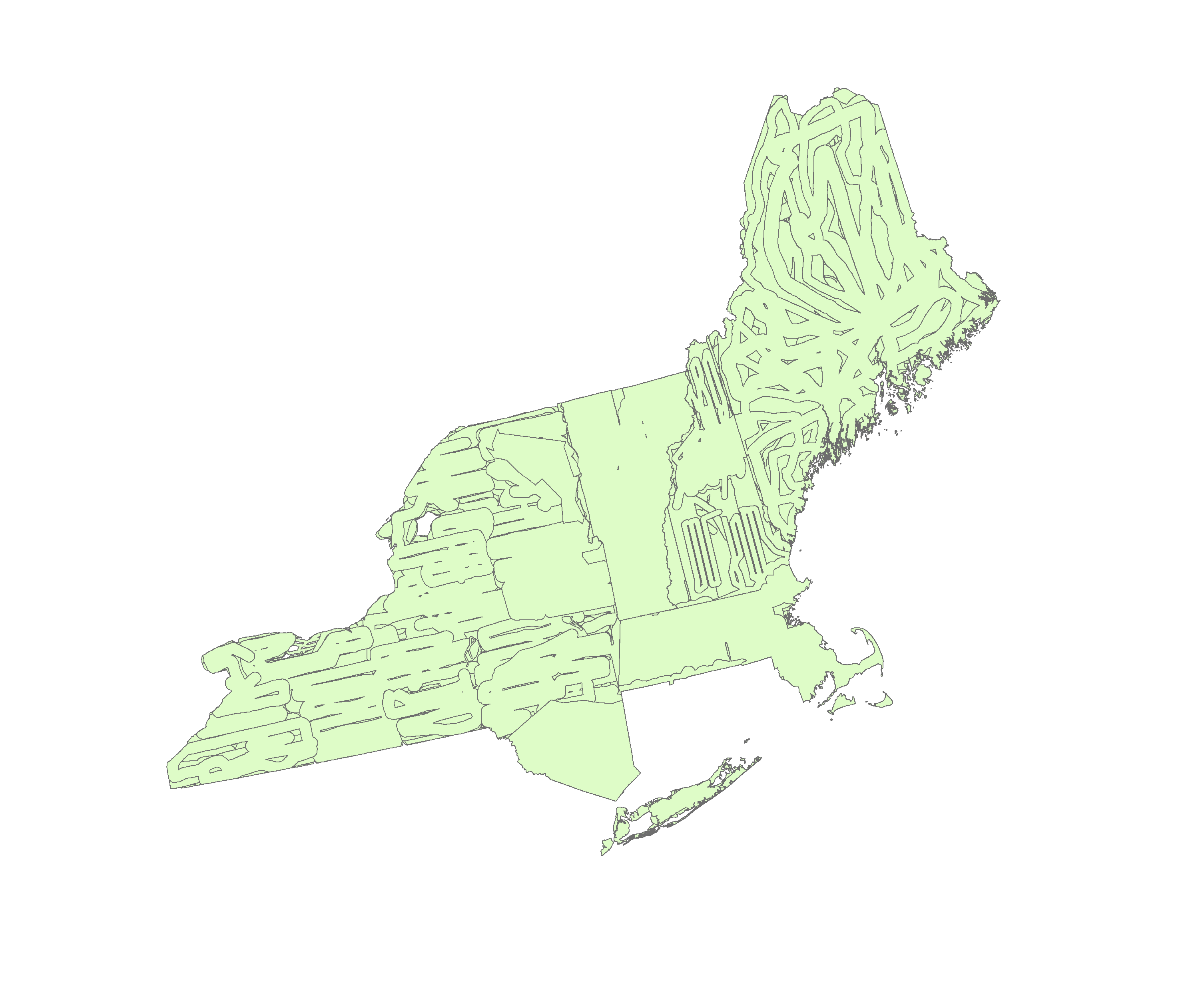
| State | State | State where the survey was conducted | Nominal |
Sampling Equipment
Equipment and software used to collect data, including how that equipment was used.
No sampling equipment recorded for this dataset
Site Characteristics
The spatial extent of the dataset site coverage, and descriptions of the spatial extent and context for the data collection
No site characteristics recorded for this dataset


 Details