Project Overview
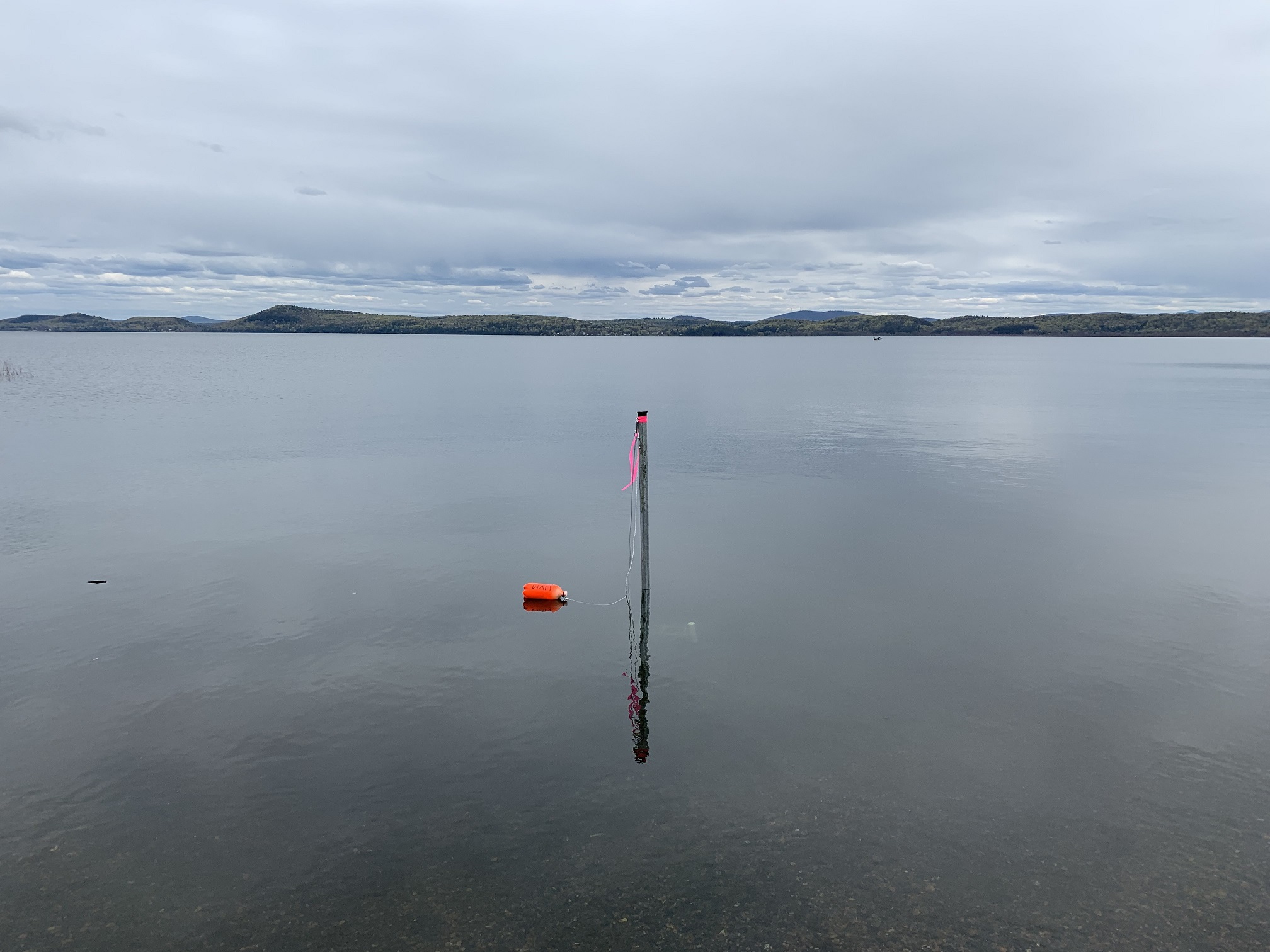
In collaboration with the NOAA – Great Lakes Environmental Research Laboratory and the International Joint Commission, the FEMC has deployed a pair of water depth sensors along the US Rt 2 Hwy Causeway in South Hero, VT. This will be a two-year flood inundation study.
Objectives
Monitoring water depth levels on the south and north side of the South Hero Route 2 causeway to study flood events.
Dataset Availability
Downloadable: 1 dataset
By request: 1 dataset
See the full list of available dataTags
Status - Active
Start date: 2019-05-13
Study Area

Loading...