Details and Metadata
Printer-friendly version View XML version Download Ecological Metadata Language file
Methods
The methods followed in the creation of the dataset, including description of field, laboratory and processing steps, and quality control procedures
Current Methods
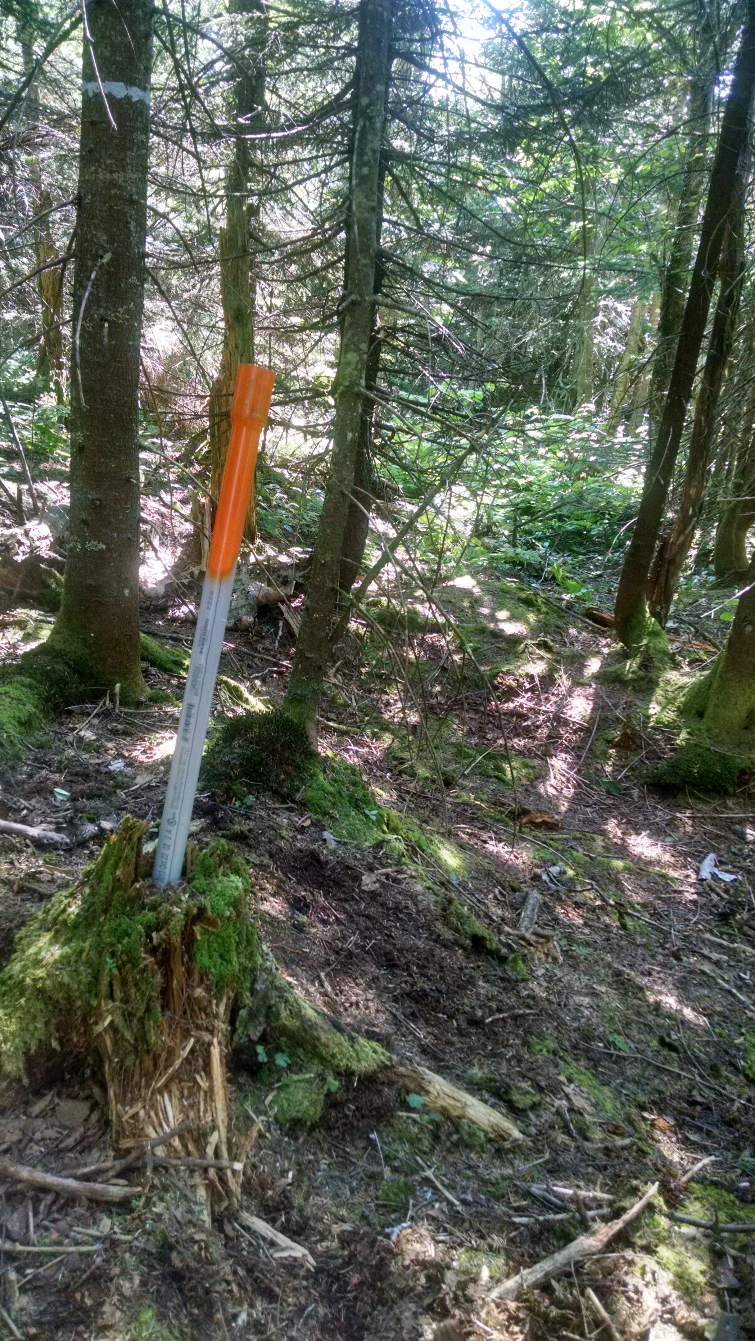
Plot establishment
Started: 1991-05-01One plot established at Proctor Maple Research Center in 1991.
Started: 1992-05-01Eight plots on west slope of Mt. Mansfield paired at 4 elevations: 1400, 2200, 3000, and 3800 feet. Used to assess changes in crown condition, injury to crown and bole, growth, regeneration, understory cover.
Started: 1990-05-01One plot established in the Lye Brook Wilderness Area as part of the National Forest Health Monitoring Program at 2300 ft.
Started: 1994-05-01Four plots in the Lye Brook Wilderness Area paired at 1400 and 2300 feet, in addition to the NFHM plot at 2300 feet.
Started: 1997-05-01Six plots established in 1997 on the east slope of the mountain in Ranch Valley paired at 1400, 2200, and 3000 feet.
Past Methods (No longer in use)
- Ice storm effects
Started: 1998-01-30
Ended: 1998-06-01In 1998, conducted special spring survey on plots affected by the January ice storm. Measurements included bole breakage and crown loss (%).
Dataset Fields
Detailed documentation of the fields comprising the dataset, including the type of measurement, units where applicable, and any controlled vocabularies or code lists present in the data
Field Name Caption Description Additional Information Aspt Aspect Aspect
Ratio Units: CollectedBy CollectedBy CollectedBy
Nominal CoordinateSystem Coordinate System Coordinate System
Nominal LastUpdate Last Update Last Update
DateTime Date/Time Format: MM/DD/YYYY Latitude Latitude Latitude
Nominal LocationMethod Location Method Location Method
Nominal Longitude Longitude Longitude
Nominal PctSlope Percent Slope Percent Slope
Ratio Units: % PlotID PlotID PlotID
Nominal SbCdl SbCdl SbCdl
Nominal SlCor SlCor SlCor
Interval Units: SubplotID SubplotID SubplotID
Nominal TerrP TerrP TerrP
Nominal Sampling Equipment
Equipment and software used to collect data, including how that equipment was used.
No sampling equipment recorded for this dataset
Site Characteristics
The spatial extent of the dataset site coverage, and descriptions of the spatial extent and context for the data collection
- Site Description


 Details