Details and Metadata
Printer-friendly version View XML version Download Ecological Metadata Language file
Methods
The methods followed in the creation of the dataset, including description of field, laboratory and processing steps, and quality control procedures
Current Methods
Geological Study
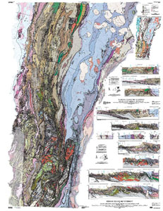
In order to gather data about the geology underlying the forests of Vermont I used several metrics. I measured the pH of the organic horizon and the mineral horizon in order to see the effect of the underlying geology on the soil above and the effect of the leaf-litter on the underlying soil. I measured duff depth, as well as whether the forest was deciduous, coniferous, or mixed to help isolate the effects of the duff on the soil pH. I also measured the soil depth to bedrock using a 0.3 meter long soil probe, the data from this test is presented as Y or N; Y= soil depth greater than 0.3m, and N= soil depth less than 0.3m. I compared USGS bedrock maps of the plots to the rocks that I observed around/ on the way to the plots. I also took down notes about the topography and substrate characteristics of the soil to account for landform anomalies in the data such as colluvial material, prevalence of outcrops, and pit and mound topography.
Dataset Fields
Detailed documentation of the fields comprising the dataset, including the type of measurement, units where applicable, and any controlled vocabularies or code lists present in the data
Field Name Caption Description Additional Information Acidic_Indicators_ Acidic_Indicators_ Presence of plant species that indicate acidic soils. Scale of 1-2, 1 being not present and 2 being not present.
Nominal Basic_Indicators_ Basic_Indicators_ Presence of plant species that indicate basic soils. Scale of 1-2, 1 being not present and 2 being present.
Nominal Duff_Depth_(cm) Duff_Depth_(cm) Depth of the duff layer.
Interval Units: Centimeters
Precision: 0.1Expected_Bedrock Expected_Bedrock Type of bedrock based on location of plot.
Nominal pH_of_B pH_of_B The pH of the B layer of soil.
Interval Units:
Precision: 1pH_of_O_ pH_of_O_ The pH of the O layer.
Interval Units:
Precision: 1Plot Plot The Forest Health Monitoring Plot where sample was taken.
Nominal Rocks Rocks Description of rocks found at study site.
Nominal Soil_Depth_>Probe_(Y/N) Soil_Depth_>Probe_(Y/N) Nominal Study_Location_(between_subplots) Study_Location_(between_subplots) Location where soil tests where completed in between subplots.
Nominal Topography Topography Description of the topography of plot.
Nominal Sampling Equipment
Equipment and software used to collect data, including how that equipment was used.
No sampling equipment recorded for this dataset
Site Characteristics
The spatial extent of the dataset site coverage, and descriptions of the spatial extent and context for the data collection
No site characteristics recorded for this dataset


 Details