Details and Metadata
Printer-friendly version View XML version Download Ecological Metadata Language file
Methods
The methods followed in the creation of the dataset, including description of field, laboratory and processing steps, and quality control procedures
Past Methods (No longer in use)
- Sample collection
Started: 1998-08-18
Ended: 1998-10-12Fog water and throughfall is collected during periods when clouds are present but no precipitation is occuring. Samples are analyzed in the lab for the major ions calcium, potassium, magnesium, sodium and sulfate.
- Sampling Events
Started: 1998-08-18
Ended: 1998-10-12Eight cloud events were sampled from August 10 to October 16, and 3 events for cloud drip.
Dataset Fields
Detailed documentation of the fields comprising the dataset, including the type of measurement, units where applicable, and any controlled vocabularies or code lists present in the data
| Field Name | Caption | Description | Additional Information |
|---|---|---|---|
| Sample_ID | Sample_ID | Unique identifier for each sample | Nominal |
| Data_Type | Data_Type | Cloudwater or throughfall sample | Nominal |
| Date | Date | Date of sample collection | DateTime Date/Time Format: M/D/YYYY |
| Ca2+ | Ca2+ | Calcium | Ratio Units: milligrams per liter Precision: 0.0000000001 |
| K+ | K+ | Potassium | Ratio Units: milligrams per liter Precision: 0.0000000001 |
| Mg2+ | Mg2+ | Magnesium | Ratio Units: milligrams per liter Precision: 0.0000000001 |
| Na+ | Na+ | Sodium | Ratio Units: milligrams per liter Precision: 0.0000000001 |
| SO(4)2- | SO(4)2- | Sulfate | Ratio Units: milligrams per liter Precision: 0.0000000001 |
Sampling Equipment
Equipment and software used to collect data, including how that equipment was used.
No sampling equipment recorded for this dataset
Site Characteristics
The spatial extent of the dataset site coverage, and descriptions of the spatial extent and context for the data collection
- Site Description
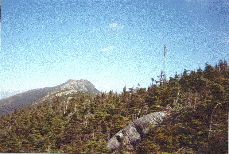
Summit of Mount Mansfield south of the Nose. Fog collector in open near WCAX building. Throughfall collector under balsam fir trees.
Minimum Altitude: 1210 meters
Maximum Altitude: 1228 meters


 Details