
Details and Metadata
Printer-friendly version View XML version Download Ecological Metadata Language file
Methods
The methods followed in the creation of the dataset, including description of field, laboratory and processing steps, and quality control procedures
Past Methods (No longer in use)
- Sediment collection method
Started: 1993-08-11
Ended: 1993-08-12The samples were collected from the area near or at maximum pond depth, using an Ekman dredge, and bagged and iced for transport.
Instrumentation: Ekman dredge
Dataset Fields
Detailed documentation of the fields comprising the dataset, including the type of measurement, units where applicable, and any controlled vocabularies or code lists present in the data
| Field Name | Caption | Description | Additional Information |
|---|---|---|---|
| Date | Date | Date on which sample was collected | DateTime Date/Time Format: DD/MM/YYYY |
| Lab Id | Lab Id | Unique identifier for lab sample | Nominal |
| Location | Location | Location where sample was collected | Nominal |
| Metals | Metals | Name of metals found in sample | Nominal |
| Result | Result | Result of tests for metals, in mg/kg | Ratio Units: mg/kg dw Precision: 0.001 |
| Symbol | Symbol | Symbol indicating metal was greater than, less than or null | Nominal |
| Test code | Test code | Abbreviations of tests run on sediment sample | Nominal |
| Units | Units | Units used in this study | Nominal |
Sampling Equipment
Equipment and software used to collect data, including how that equipment was used.
Past Sampling Equipment (No longer in use)
Sediment collection
Started: 1993-08-11
Ended: 1993-08-12Sediments were collected on Bourn and Branch Ponds using Ekman dredges
Site Characteristics
The spatial extent of the dataset site coverage, and descriptions of the spatial extent and context for the data collection
- Site Description
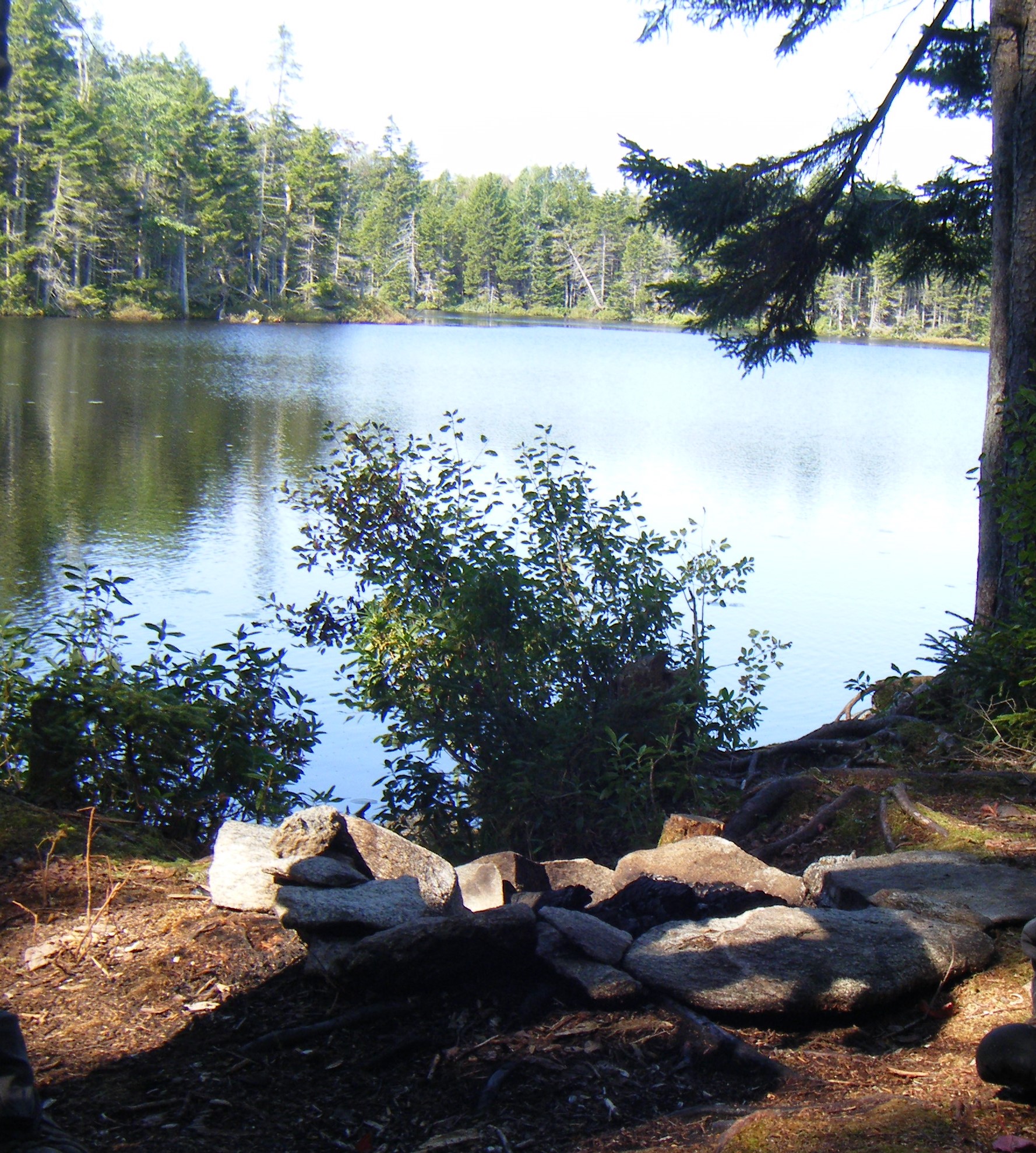
Bourn and Branch Ponds
Minimum Altitude: 700 feet
Maximum Altitude: 900 feet