Every year FEMC undertakes a slate of regional and state-level projects to support forest health and forest management across the northeastern U.S. These projects involve data analysis, data synthesis, digitization, tool development, field work, and often aggregate disparate information across the region. Previously completed projects can be explored at our "Data Driven Tools" page.
FEMC's current work projects include:
Regional Projects
Expanding NEFIN data holdings
In its original conception, the Northeastern Forest Inventory Network (NEFIN) aimed to fill the gaps left by USFS FIA’s sampling structure by leveraging additional, often smaller-scale, CFI data collection efforts across the Northeast. As of early 2026, NEFIN includes 10 CFI programs representing all seven states in the FEMC service region. This year FEMC will incorporate available FIA data into the NEFIN database to the extent possible, recognizing that there may be limitations on some data sharing per the U.S. Forest Service.
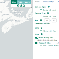
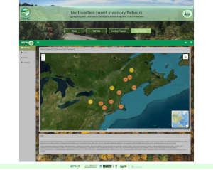
Filling gaps in Forest Health Atlas aerial survey data
The NEFHA interface provides maps of forest damage collected from aerial surveys (though NEFHA also displays some field-based datasets related to forest health). NEFHA users can filter by damage agent, damage type, state, and year, as well as view graphs and tables of disturbance patterns over time and download maps and data. However, aerial surveys often include many gaps and inconsistencies due to specific flight patterns, lapses in resources, or other challenges. Although they are an important contributor to understanding canopy condition across a region, they cannot provide wall-to-wall damage data. This year, FEMC will add a new remote sensing data layer to NEFHA calculated from satellite imagery using known methods to estimate crown health on a landscape scale.
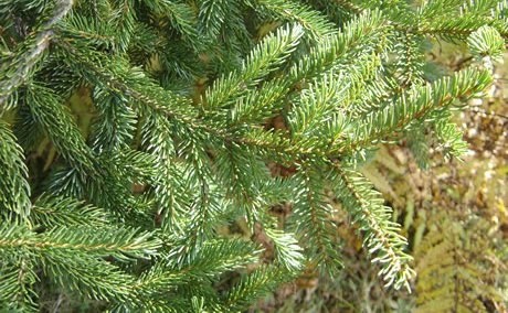
Northeastern forest spruce-fir data inventory and gap analysis
Spruce-fir forests in the Northeast face a number of stressors including but not limited to warming temperatures and impacts from spruce budworm outbreaks. At the 2024 FEMC Joint Committee Meeting, health trends of spruce-fir forests, including the responses of these forests to spruce budworm outbreaks, was a top concern among FEMC collaborators. Collaborators also identified the existence of several underutilized datasets on spruce-fir forest health in the region.
Visit project page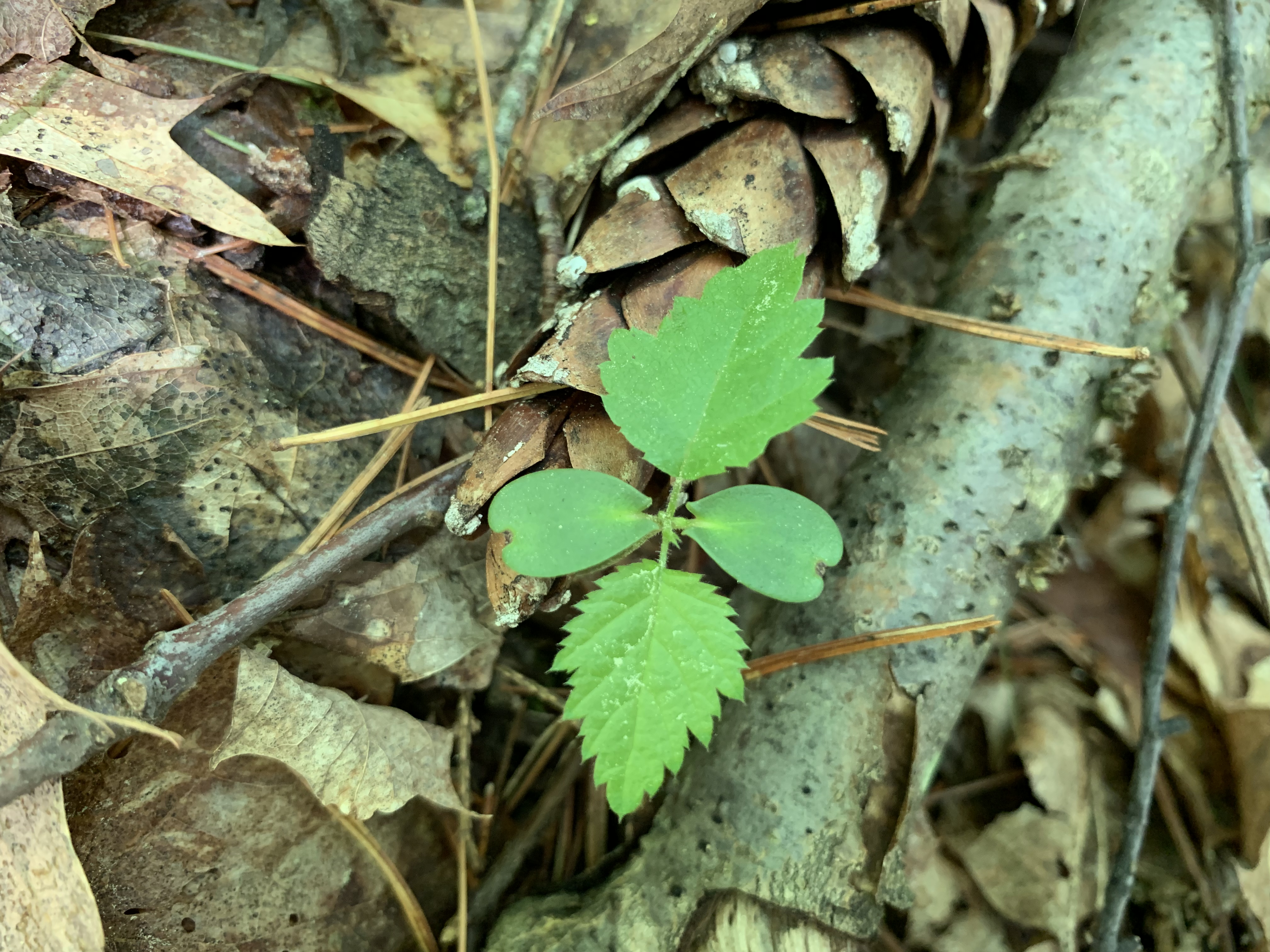
Forest regeneration data collection guide and data inventory
Forest regeneration represents a persistent concern among land managers, forest health professionals and researchers, the timber industry, and others. As climate change shifts suitable ranges for key northeastern tree species, overpopulation of deer increases browse pressure on seedlings, invasive plants limit understory establishment, and invasive pests and pathogens stress existing young trees, regeneration in many of the region’s forests is in decline. FEMC is supporting efforts to address this critical concern in a two-part project.
Visit project page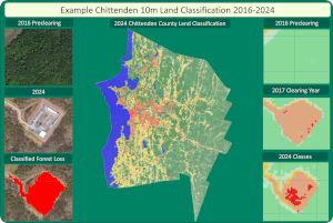
Regional assessment of annual forest clearing trends
Timber clearing is a component of forest management and conversion of forestland to other uses (e.g., agriculture, development, energy infrastructure, etc.). In 2019 FEMC performed an analysis of the rate, extent, and timing of timber clearing in the state of New Hampshire. Such analyses are integral to understanding patterns of silviculture and forest conversion, and can provide additional information about the provision of ecosystem services in forests, wildlife movement, and more. In 2024 and 2025, FEMC is updating and expanding this analysis to the entire region for multiple annual timesteps using satellite data available through Google Earth Engine.
Visit project page
Expanding the Forest Indicators Dashboard
This year FEMC will begin work to expand our Forest Indicators Dashboard, currently available only for Vermont, to every state in FEMC’s service region. The FEMC Director and Assistant Director will work with stakeholders in those states to publish each of those dashboards, and convene working groups in each of the other remaining states (Maine, Massachusetts, Rhode Island, and Connecticut) to identify key metrics for dashboards for those states. Web development of the dashboards will take place next year.
State-Level Projects
Improving Connecticut "Old Series" data (CT)
FEMC will assist in writing scripts to clean and extract archival data from the state’s “old series” CFI program. These data have been collected every 10 years since 1927. Products will include data that is ready for analysis in R, and may also include the development of field forms to streamline data collection moving forward.
Updating New Hampshire's Timberbase model (NH)
FEMC will assist the NHDFL in updating a GIS model that identifies manageable forest areas. Products will include new data and updated Python scripts suitable for AGOL and/or ArcGIS Pro.

Mapping utilization of mast-producing species in Vermont (VT)
FEMC will work with VT Agency of Natural Resources to create maps showing distribution and bear utilization of mast-producing species (beech, oak, cherry, and mountain ash) across the state.
Digitizing Vermont town forest records (VT)
FEMC will partner with UVM Professor Emeritus Bob McCullough to digitize Vermont town forest data for use by UVM’s forestry program.