Details and Metadata
Printer-friendly version View XML version Download Ecological Metadata Language file
Methods
The methods followed in the creation of the dataset, including description of field, laboratory and processing steps, and quality control procedures
Current Methods
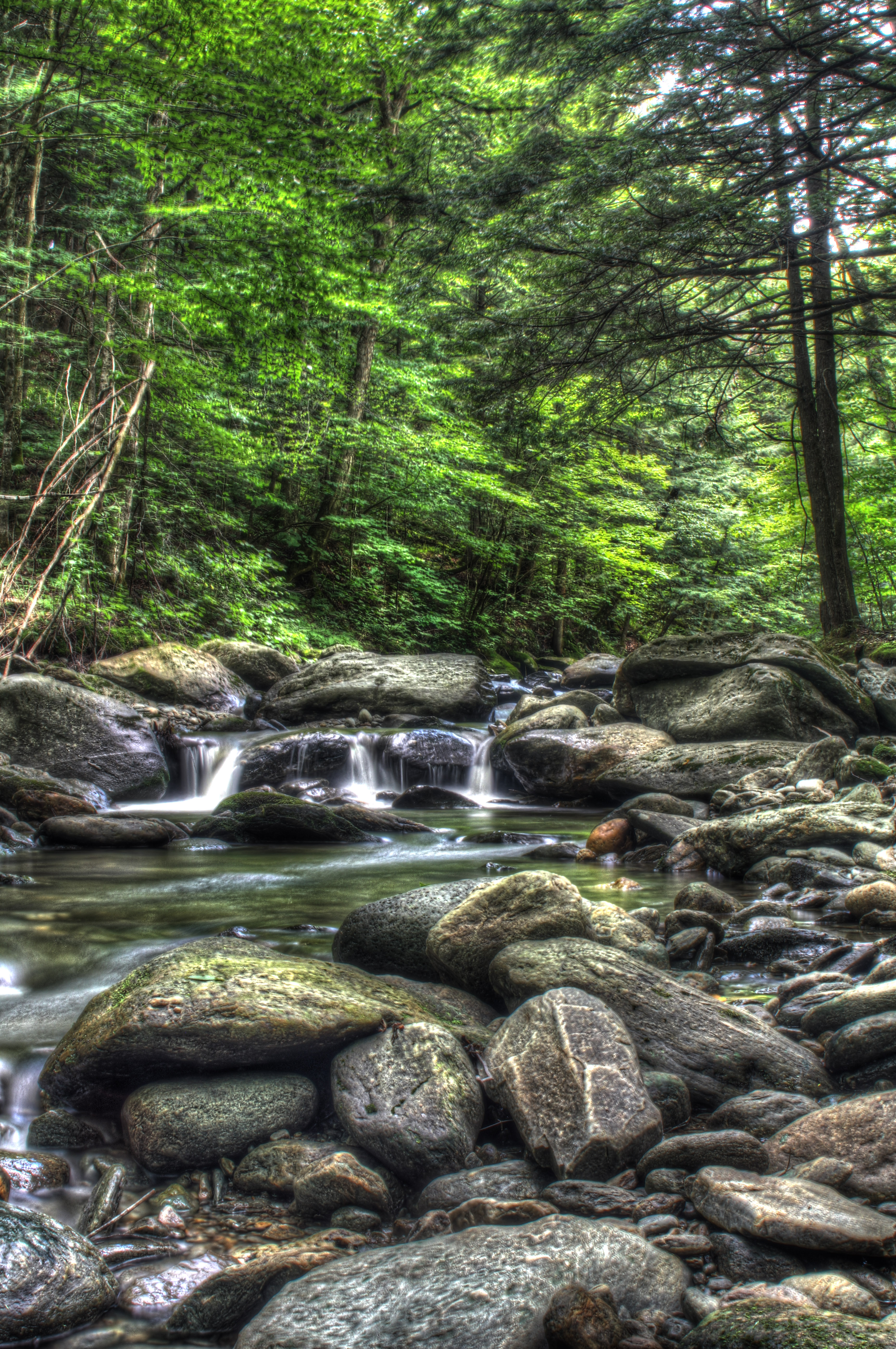
Started: 2000-07-01Continuous monitoring of stream water heights, which will be related to discharge (flow) by an empirical rating based on frequent discharge measurements.
Stream water monitoring
Started: 2000-07-01Continuous monitoring of stream water heights, which will be related to discharge (flow) by an empirical rating based on frequent discharge measurements.
Dataset Fields
Detailed documentation of the fields comprising the dataset, including the type of measurement, units where applicable, and any controlled vocabularies or code lists present in the data
Field Name Caption Description Additional Information Date Date Date
DateTime Date/Time Format: YYYY-MM-DD RBflow Daily Flow at Ranch Brook Daily flow at Ranch Brook
Ratio Units: cubic feet per second
Precision: 0.01Rbrunoff Daily Runoff at Ranch Brook Daily runoff volume at Ranch Brook
Ratio
Unit: MillimetersPerDay
Precision: 0.01Rbest Data Quality Codes for Ranch Brook Data-value qualification codes
Nominal Wbest Data Quality Codes at West Branch Quality Code at West Branch
NominalWestBranch_Water_QualityCodes
+ showAppears in data as Meaning of code A Approved for publication -- Processing and review completed. P Provisional data subject to revision. e Value has been estimated. Wbrunoff Daily Runoff at West Branch Daily runoff volume at West Branch
Ratio
Unit: MillimetersPerDay
Precision: 0.1Wbflow Daily Flow at West Branch Daily flow at West Branch
Ratio Units: cubic feet per second
Precision: 0.01Sampling Equipment
Equipment and software used to collect data, including how that equipment was used.
No sampling equipment recorded for this dataset
Site Characteristics
The spatial extent of the dataset site coverage, and descriptions of the spatial extent and context for the data collection
- Site Description
Ranch Brook, undeveloped forested watershed with cross country ski trail network; West Branch River, develop forested watershed with downhill ski trails, builindings and ski area infrastructure. Watershed area is approximately 10 km2 each. Gage stations at 1300 foot elevation.