
Details and Metadata
Printer-friendly version View XML version Download Ecological Metadata Language file
Methods
The methods followed in the creation of the dataset, including description of field, laboratory and processing steps, and quality control procedures
Past Methods (No longer in use)
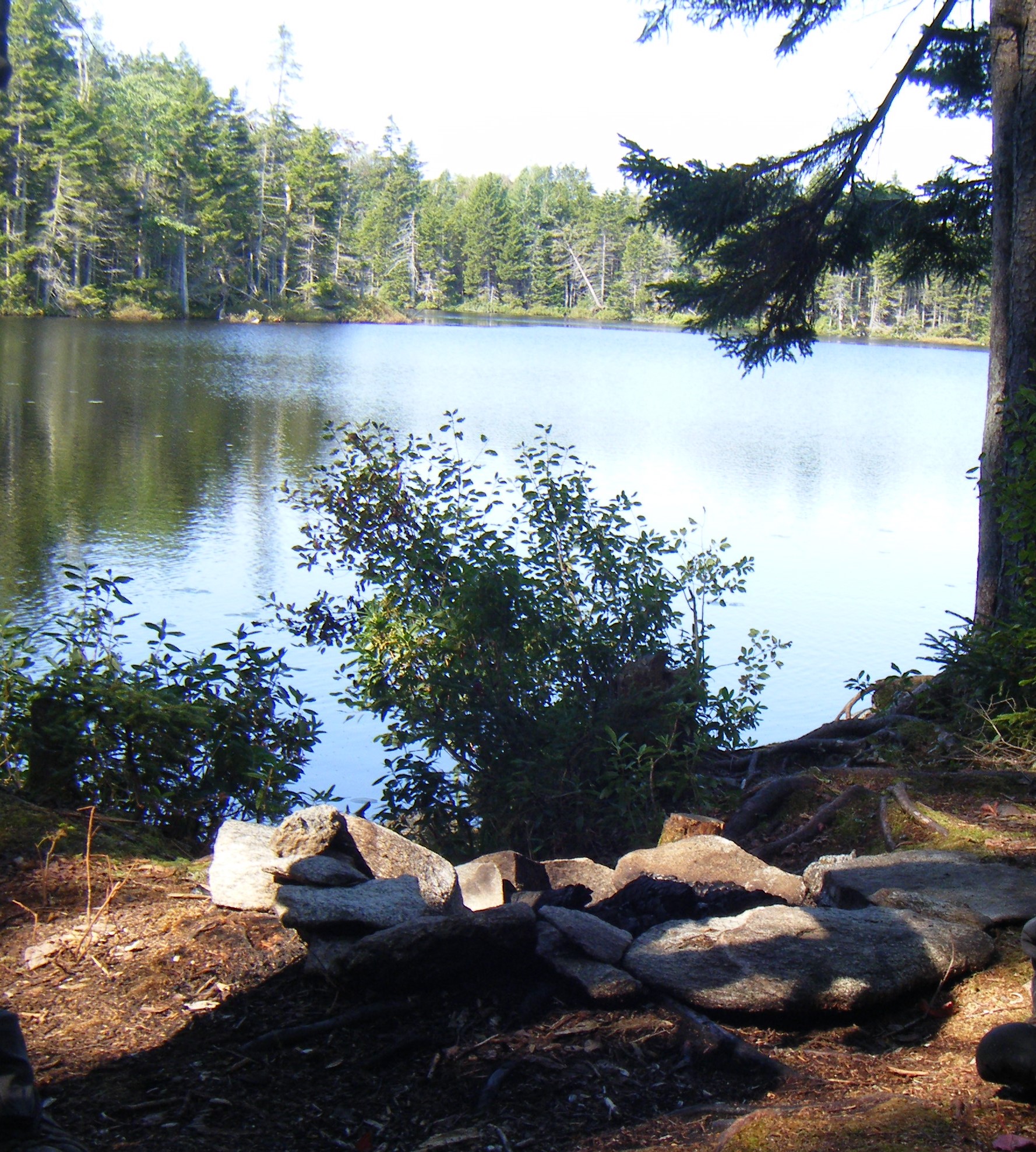
- Fish sampling locations
Started: 1993-04-01
Ended: 1995-10-01Stream fish populations were sampled by electroshocking at six sites on four streams: 2 sites each on Lye and Bourn Brooks and 1 site each on Branch Pond Brook and Winhall River. Surveys were done during August and September. Stream sections were representative of the physical habitat in each of the overall stream reaches. General physical characteristics were recorded, including water temperature and specific conductance, during each sampling event.
- Fish electroshocking
Started: 1993-04-01
Ended: 1995-10-03Fish were sampled in an upstream direction using block nets at some sites. At sites where no nets were used, the upper end of the section was located at the foot of a cascade which acted as a barrier to fish attempting to escape the electric field.
- Habitat sampling
Started: 1993-04-01
Ended: 1995-10-01Efforts were made to seek out and sample all littoral habitat types at each lake- silt-muck, sand, gravel-cobble-rock, organic detritus, logs and submergent and emergent vegetation. The littoral zone was sampled because it should yield the greatest number of species, the most valued fish food organisms, is less influenced by other natural limiting factors than the profundal zone, and was a zone common to all the lakes.
- Measurements
Started: 1993-04-01
Ended: 1995-10-01All individuals were identified to species and salmonids measured for total length. For the Winhall site, all species were weighed individually or in groups, and total lengths were measured.
Dataset Fields
Detailed documentation of the fields comprising the dataset, including the type of measurement, units where applicable, and any controlled vocabularies or code lists present in the data
| Field Name | Caption | Description | Additional Information |
|---|---|---|---|
| % Composition | % Composition | The percent composition of a fish species (total number of a particular species divided by total num | Ratio Units: Precision: 0.001 |
| cl +95% | Conf level +95% | 95 percent confidence level | Ratio Units: Precision: 0.00001 |
| cl -95% | Conf level -95% | 95 percent minus confidence level | Ratio Units: |
| event ID | event ID | Identification code for fish sampling event | Nominal |
| N/100m^2 | N/100m^2 | A measure of density using the total number of fish caught divided by area. | Ratio Units: |
| p | p | probability | Ratio Units: |
| run 1 | run 1 | Number of fish captured in first electrofishing pass | Interval Units: |
| Run 1/100m^2 | Run 1/100m^2 | A measure of density using the total number of fish from one electrofishing pass divided by area. | Ratio Units: |
| run 2 | run 2 | Number of fish captured in second electrofishing pass | Interval Units: |
| run 3 | run 3 | Number of fish captured in third electrofishing pass | Interval Units: |
| run 4 | run 4 | Number of fish captured in fourth electrofishing pass | Interval Units: |
| se | se | standard error | Ratio Units: |
| station | station | Specific location code for sampling event | Nominal |
| stream name | stream name | stream name | Nominal |
| total | total | Total number of fish captured | Interval Units: |
| total/100m^2 | total/100m^2 | A relative density measure (number of fish captured per 100 square meters) | Ratio Units: |
| x2 | x2 | x2 | Ratio Units: |
Sampling Equipment
Equipment and software used to collect data, including how that equipment was used.
Past Sampling Equipment (No longer in use)
Electroshockers
Started: 1993-04-01
Ended: 1995-10-03Pulsed-DC backpack electroshockers
Site Characteristics
The spatial extent of the dataset site coverage, and descriptions of the spatial extent and context for the data collection
- Site Description
Four streams sampled: Lye Brook, Bourn Brook, Branch Pond Brook and Winhall River.
- Site Description
Elevations ranges from 840 feet to 2161 feet.