IMPACTS OF RECREATION ON FOREST ECOSYSTEMS
Overview:
Forest-based recreation activities are increasing with more people taking part in both motorized and non-motorized activities. Different recreation activities place varying levels and types of pressure on forests. These pressures can be concentrated (e.g., mountain bike trails) or diffuse (e.g., cutting for ski glades), with potential impacts on forest hydrology, soils, invasive species propagation, wildlife movement, tree regeneration and health. Monitoring and analysis of forest health impacts by recreational activities in the Northeast is limited, but of growing interest to land managers.
Project Objective:
The purpose of this project is to assess connections between recreation and forest health spatially, identifying locations with high risk for forest health impact from recreation. Relative impacts of different recreation types will be analyzed to provide land managers with information about what types of forest health impacts may result from recreation on the land. A complementary and simultaneous effort will explore different approaches for monitoring these impacts.
Previous Activities
The question of how recreation activities impact forest health has been posed by many FEMC partners and highlighted as a need by the Steering Committee and State Partnership Committees. To address these questions, FEMC led exploratory activities in 2022, including conducting a literature review of monitoring recreation activities in the Northeast U.S. This literature review revealed a gap in available data and knowledge on the specific question about impacts by recreation on forest health. Individual conversations were had with experts in forest health and recreation to further clarify the challenges and needs across the region.
Specific outputs from these previous activities include a completed literature review, report summarizing the expert conversations, and relationships built with these experts. In 2023, we will use this preliminary work to continue answering questions about recreational impacts on forest health. Outputs planned from ongoing work will include the creation of a GIS map of use-type categorized trails with high-risk trail areas identified, as well as recommendations for monitoring methods that can be used by land managers. Working groups will provide guidance for the development of these outputs.
Opportunities to Contribute
FEMC will be forming two working groups to achieve program objectives. More information about each of these working groups is available in the Recreation Impacts Working Group and Recreation Monitoring Working Group tabs. If you would like to be involved, please reach out to Elissa Schuett (Elissa.Schuett@uvm.edu).
Overview:
FEMC Working Groups provide input on the development and progress of active FEMC projects. FEMC staff organize and lead the working groups by inviting cooperators to join, defining project objectives, and developing plans to achieve the objectives.
Working Group Objective:
The Recreation Impacts Working Group will consist of 6-8 individuals who have interest and expertise in managing land for recreation. A variety of types of recreation will be considered for inclusion in the analysis, such as hiking, camping, mountain biking, and skiing, among others. The working group will provide input on how to define risk and relative impact by each assessed type of recreation.
FEMC staff will use the guidance provided by the working group to develop a regional map of trails that includes types of recreation and areas at high risk for impact by recreation. As part of this effort, FEMC staff will also develop a matrix of relative impact by recreation type.
Working Group Outputs
The working group will provide known resources for use by FEMC staff in developing a trail map, will aid in developing the relative impact matrix, and generate reporting products. The working group will have the opportunity to review the final products FEMC staff create.
For more information about participating on this Working Group, please review the Recreation Impacts Working Group document and the FEMC Working Group Expectations document. You are welcome to contact Elissa Schuett (Elissa.Schuett@uvm.edu) with any questions.
Overview:
FEMC Working Groups provide input on the development and progress of active FEMC projects. FEMC staff organize and lead the working groups by inviting cooperators to join, defining project objectives, and developing plans to achieve the objectives.
Working Group Objective:
The Recreation Monitoring Working Group will consist of 5-7 individuals who have interest and expertise in monitoring and managing land for recreation. A variety of types of monitoring methods will be considered that capture how recreation impacts forest health. A data census among working group members or their network will also be conducted to gather any monitoring data that is already available.
FEMC staff will use the guidance provided by the Working Group to develop a list of monitoring recommendations to answer different questions about recreation impacts.
Working Group Outputs
The Working Group will conduct a review of monitoring methods to identify and implement pilot monitoring at field locations. The monitoring results will be shared back to the FEMC for inclusion in the development of a monitoring recommendations document. The monitoring data will also be gathered in a data census, along with any other available data, to begin developing a data resource.
FEMC may have some resources to support pilot programs in the implementation of monitoring methods, but will be dependent on timing and other needs.
The Working Group will review final products to ensure they meet the Working Group recommendations and provide an accurate analysis of the results.
For more information about participating on this Working Group, please review the Monitoring Recreation Working Group document and the FEMC Working Group Expectations document. You are welcome to contact Elissa Schuett (Elissa.Schuett@uvm.edu) with any questions.
Methods Decision Tree
This tool helps to identify the most appropriate experimental design for your project based on topic, data output, and available resources. Within each method description, suggestions are made on ways to adapt your experimental design to best assess impacts of recreation.
Birds

These methods for monitoring birds are suggested by the Methods for Monitoring Landbirds from the U.S. National Park Service based on the objectives below.
What is your objective?
(select all that apply)
Inventory
Population Demographics
Suggested Methods
show all methods considered
Inventory
Description:
Observers roam freely for a fixed time in a specified area, tallying numbers of each species detected. Suited to volunteer observers and public outreach events. Unlike other techniques, it allows rare or secretive species to be actively pursued.How to Adapt to Recreation:
Conduct surveys in recreational hotspots during peak visitor hours and compare with times of minimal human activity to assess the impact of recreational disturbance on bird presence and behavior.Data Output:
Which species are in an area; Qualitative measure of relative abundance (rare, common, etc.) of each species in an area.Abundance Trends and Habitat Use
Description:
Two observers simultaneously conduct point counts to calculate detection probabilities.How to Adapt to Recreation:
Perform counts in both high-traffic recreational areas and secluded sites to compare detection probabilities and infer potential disturbances from recreation.Data Output:
Species in an area; Distribution and relative abundance; Trends in population size; Comparative abundances.Description:
Observer records distances to each bird, allowing for detection probability analysis and bird density estimates.How to Adapt to Recreation:
Conduct surveys at varying distances from recreational areas to establish a gradient of human impact on bird density.Data Output:
Species in an area; Distribution and relative abundance; Trends in population size; Comparative abundances; Habitat data.Description:
Observers record all birds detected within a fixed distance of the transect. Provides efficient bird counting by covering a greater survey area with higher detection rates.How to Adapt to Recreation:
Establish transects that intersect with recreational trails and compare data to transects in less disturbed areas to assess recreation's influence on bird distribution and abundance.Data Output:
Species in an area; Distribution and relative abundance; Trends in population size; Comparative abundances; Habitat data.Description:
Marks locations, movements, and interactions of birds to map breeding territories. Offers density estimates and detailed natural history information.How to Adapt to Recreation:
Intensify mapping around recreational trails and facilities compared to undisturbed plots to evaluate changes in breeding territory and bird interactions due to human activity.Data Output:
Trends in population size; Comparative abundances; Habitat data.Population Demographics
Description:
Uses the MAPS protocol to allow comparison of bird populations across North America. Incorporates mark-recapture techniques for estimating adult survivorship and recruitment. Facilitates additional natural history data collection.How to Adapt to Recreation:
Set up mist netting stations near recreational areas and compare capture rates to stations in undisturbed areas to determine the impact of human activity on bird survivorship and recruitment.Data Output:
Post-fledging productivity; Estimates of adult population size, survivorship, and recruitment for target species.Description:
Combines nest monitoring with color banding and systematic resighting. Provides thorough demographic data by following nesting attempts and fledgling fates.How to Adapt to Recreation:
Conduct color banding in areas adjacent to recreational zones to monitor fledging success and movements in response to human presence.Data Output:
Post-fledging productivity; Adult population size, survivorship, and recruitment estimates for target species.Description:
Facilitates the study of nest sites or characteristics and their correlation with nest success or failure.How to Adapt to Recreation:
Monitor nests in areas with different levels of human activity to assess the impact of recreation on nest success rates and causes of failure.Data Output:
Nest success rates for target species; Proximate causes of nest failures for target species.Invertebrates

[PAGE UNDER CONSTRUCTION]
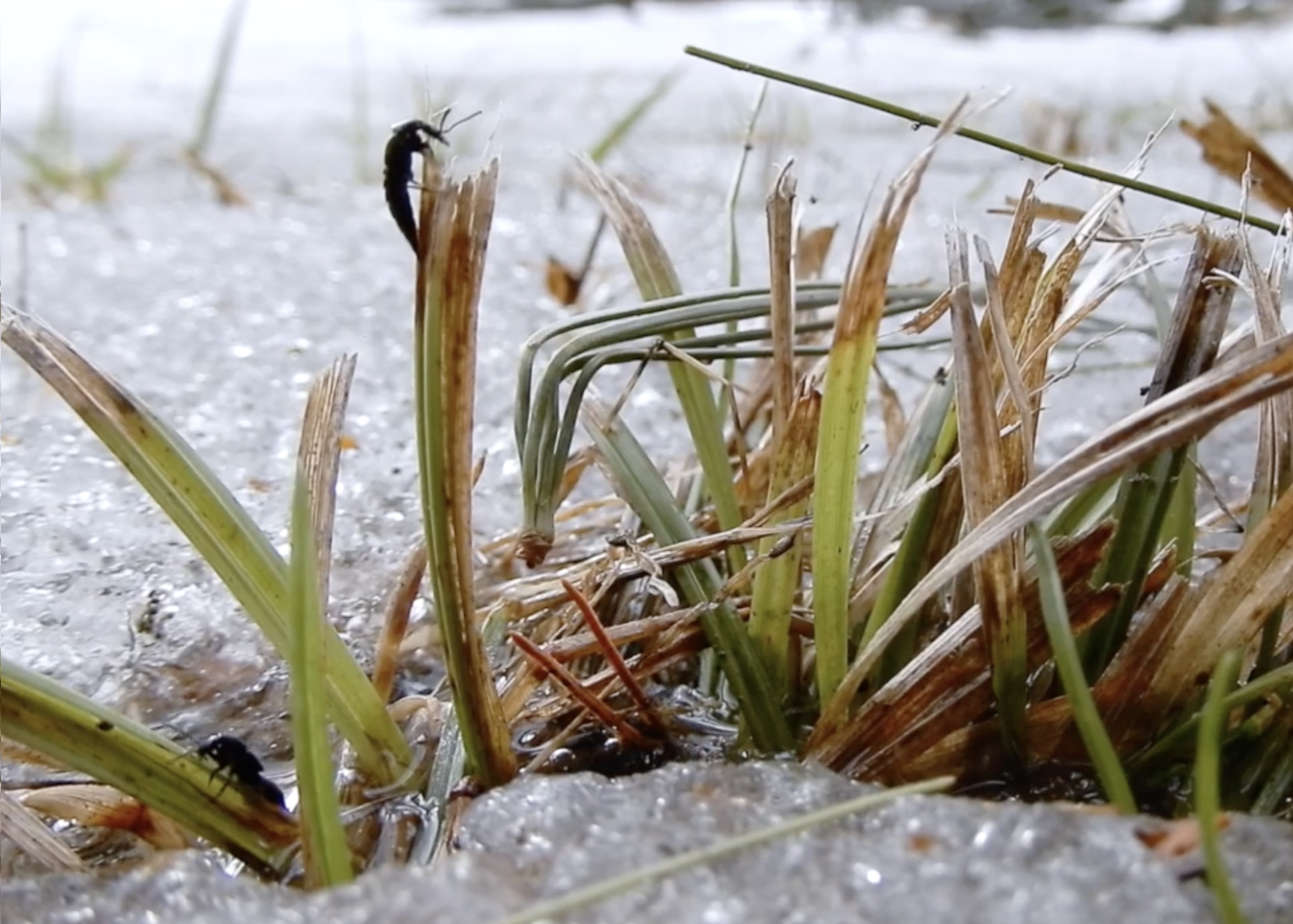
Methods for monitoring invertebrates rely heavily on the the target species of your monitoring program. The decision tree below primarily highlights insect trapping techniques found in the Insect Monitoring Techniques Table found in the Standards and Best Practices for Monitoring and Benchmarking Insects report by Montgomery et al. (2021) and Ch. 15: Sampling insects: general techniques, strategies and remarks from All Taxa Biodiversity Inventories and Monitoring by Grootaert et al. (2010).
What life stage will you be surveying?
Life Stage:
Are you targeting specific taxa?
Consider all invertebrates across the Northeast
Select target species or taxa:
clear all
Suggested Methods
show all methods considered
Select a species or taxa.
No matches found.
Select a parent taxa (e.g., "Beetles" instead of "Rove beetle"), or contact FEMC to suggest a species/taxa.
Protocol_Description:
How to Adapt to Recreation:
Data Output:
Limitations:
Amphibians and Reptiles

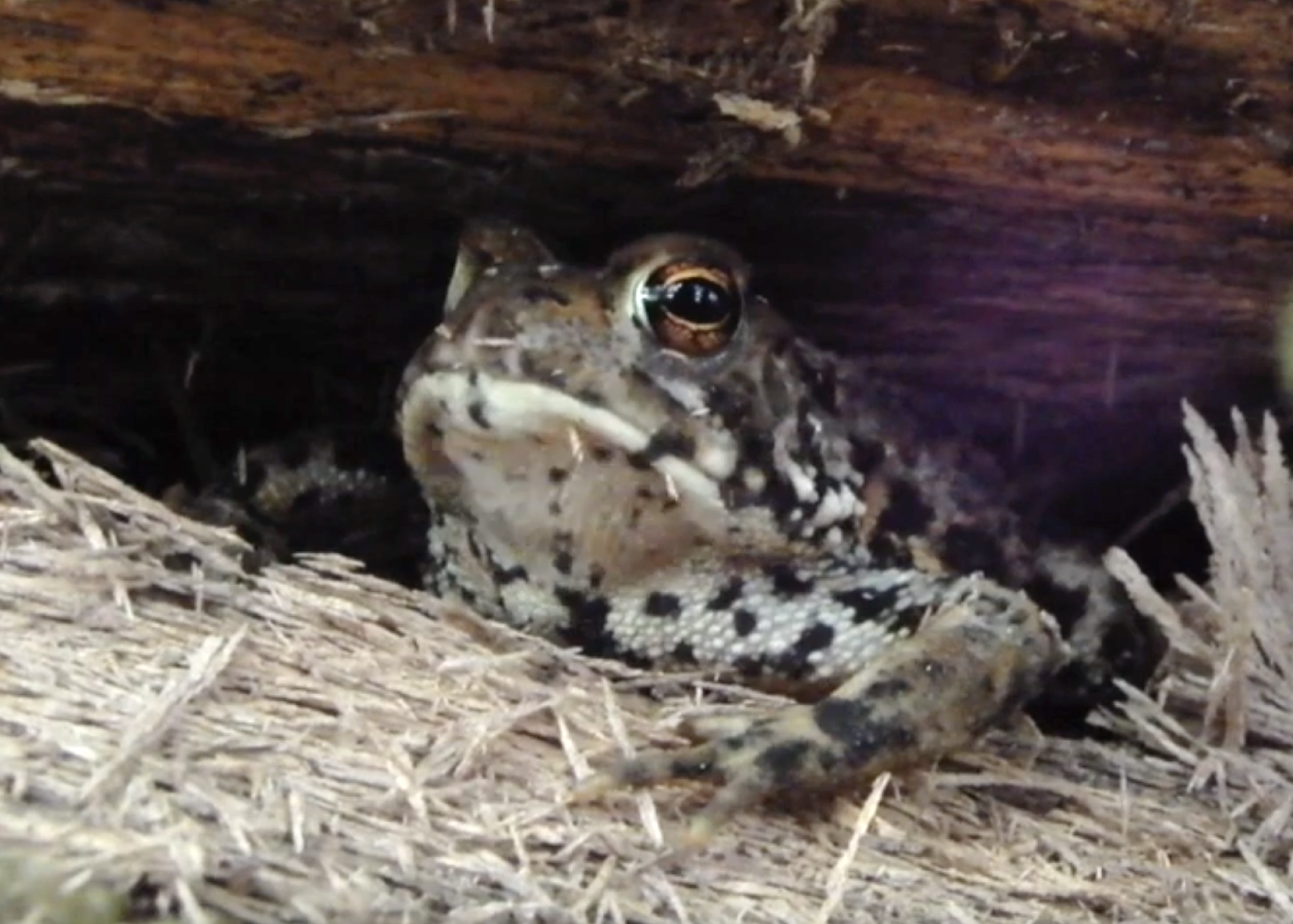
Methods for monitoring amphibians and reptiles rely heavily on what the objectives are and target species. The decision tree below is adapted from the Species Techniques Table found in the Partners in Amphibian and Reptile Conservation (PARC) Inventory and Monitoring: Recommended Techniques for Reptiles and Amphibians report. This report is recommended as an additional reference to the information that we provide.
What is your objective?
(select all that apply)
Inventory
Monitoring
When will you be monitoring?
Season:
Are you targeting specific species or taxa?
Considering all amphibians and reptiles across the Northeast.
States:
clear allSelect a state to list species found in that state.
Select target species or taxa:
Select a species or taxa.
Suggested Methods
show all methods considered
No suggested methods for the selected species/taxa for this season.
Contact FEMC to suggest a method for the species/taxa.
Inventory: Rapid Assessment
Inventory: Comprehensive Survey
Monitoring: Presence / Absence
Monitoring: Population Demographics
Mammals

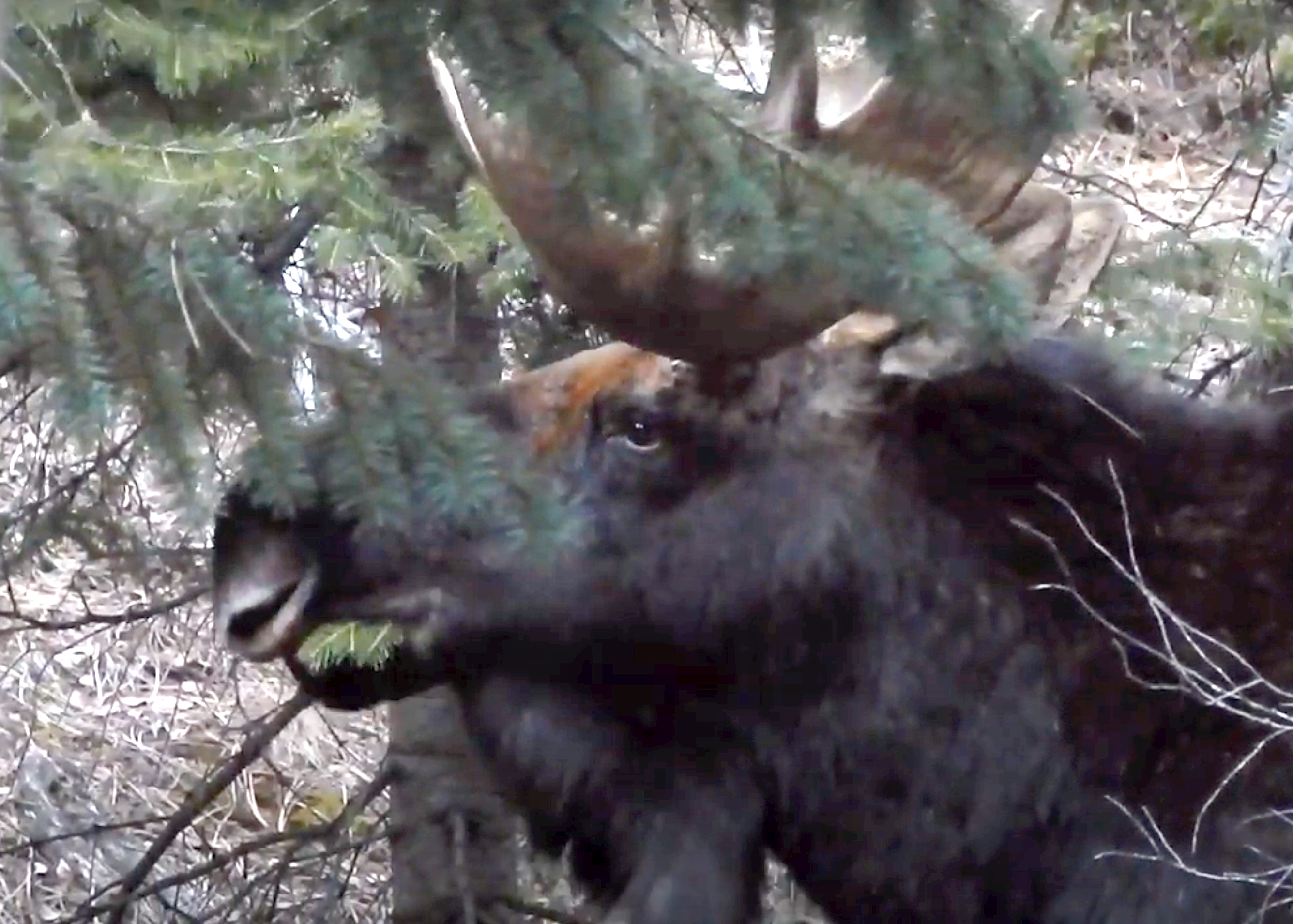
Methods for monitoring mammals rely heavily on what the objectives are and target species. The decision tree below is adapted from the US Forest Service's Multiple Species Inventory and Monitoring Technical Guide (2005) . This report is recommended as an additional reference to the information that we provide.
What is your objective? (select all that apply)
Inventory
Monitoring
Are you targeting specific species or taxa?
Considering all mammals across the Northeast.
States:
clear allSelect a state to list species found in that state.
Select target species or taxa:
Suggested Methods
show all sorted by species count
Inventory: Rapid Assessment
Inventory: Comprehensive Survey
Monitoring: Presence / Absence
Monitoring: Population Demographics
Select a species or taxa.
Invasive Plants

These methods for monitoring invasive plants are suggested from publications by Herrick et al. (2005), Rew and Pokorny (2006), Huebner (2007), and Keefer et al. (2014) based on the objectives below.
What is your objective? (select all that apply)
Rapid Assessment
Detailed Inventory
Change in Plant Distribution Over Time
Dynamic & Multi-Tiered Monitoring
Suggested Methods
Rapid Assessment
Description:
Conduct rapid scan as opportunities allow, primarily at trailheads and parking areas prior to conducting other field work.How to Adapt to Recreation:
Can be done while walking along a trail network and at high use areas in addition to at trailheads and parking areas.Data Output:
Presence/Absence of likely species.Limitations:
The output is limited to a score per plot relative to all plots located within the National Park (for NETN sites - this could be modified for a specific property). There are three score cateories. The score is calculated based on presence/absence of key species in a plot.Description:
An area is selected and the surveyor thoroughly walks the entire area for a predetermined amount of time, documenting all species.How to Adapt to Recreation:
Locate sites near trail heads and along trails or at high use locations.Data Output:
Presence/Absence and rough abundance estimatesLimitations:
100% of site is sampled; results can vary among data collectors depending on skill and knowledge of the site; rare species (or newly introduced plants) are more likely to be missed, especially in dense vegetation.Detailed Inventory
Description:
Plots are established at regular intervals.How to Adapt to Recreation:
Establish plots at regular intervals along the trail.Data Output:
Abundance, density, distribution.Limitations:
Requires time and effort to set up and maintain plots; can miss rare species if they are not located in the plot; the non-random plot establishment can lead to missing patchiness in the forest.Description:
Moderate; This method divides a plot into strata, or areas with homogenous environmental factors. Sampling is then randomply applied within each strata.How to Adapt to Recreation:
Stratifications can be made based on trail segments, usage levels, or habitat type; Control transects away from trails should be used for comparison; consider higher sampling intensits at trailhead and parking areas to capture likely points of entry for invasive plants.Data Output:
Quantitative data on invasive plant distribution, density, and abundanceLimitations:
Field sampling and training on vegetation identification is within reason for a field crew. A GPS unit (or phone app) are needed to navigate to transects and map populations. To develop predictive models, additional skills in GIS and analysis are required, along with access to the software.Description:
Nested plots are established. All species are recorded in the smallest plot; the process is repeated for the next size plot, and the largest plot - noting that all species in the smallest are included in subsequent lists.How to Adapt to Recreation:
Sample perpendicular to trails to capture edge effects and trail-to-interior gradients; Plots should be established at high-use areas such as trail heads and parking areas.Data Output:
Comprehensive; species-area relationships and species richness.Limitations:
Requires a lot of effort and skill to set up and conduct monitoring; not suitable when resources are limited.Change in Plant Distribution Over Time
Description:
Plots are established at regular intervals.How to Adapt to Recreation:
Establish plots at regular intervals along the trail.Data Output:
Abundance, density, distribution.Limitations:
Requires time and effort to set up and maintain plots; can miss rare species if they are not located in the plot; the non-random plot establishment can lead to missing patchiness in the forest.Description:
Moderate; This method divides a plot into strata, or areas with homogenous environmental factors. Sampling is then randomply applied within each strata.How to Adapt to Recreation:
Stratifications can be made based on trail segments, usage levels, or habitat type; Control transects away from trails should be used for comparison; consider higher sampling intensits at trailhead and parking areas to capture likely points of entry for invasive plants.Data Output:
Quantitative data on invasive plant distribution, density, and abundanceLimitations:
Field sampling and training on vegetation identification is within reason for a field crew. A GPS unit (or phone app) are needed to navigate to transects and map populations. To develop predictive models, additional skills in GIS and analysis are required, along with access to the software.Description:
Nested plots are established. All species are recorded in the smallest plot; the process is repeated for the next size plot, and the largest plot - noting that all species in the smallest are included in subsequent lists.How to Adapt to Recreation:
Sample perpendicular to trails to capture edge effects and trail-to-interior gradients; Plots should be established at high-use areas such as trail heads and parking areas.Data Output:
Comprehensive; species-area relationships and species richness.Limitations:
Requires a lot of effort and skill to set up and conduct monitoring; not suitable when resources are limited.Dynamic & Multi-Tiered Monitoring
Description:
Sampling intensity and methods are adjusted based on initial findings, focusing resources and effort on locations where invasive plants are detected.How to Adapt to Recreation:
High risk areas (trailheads and parking areas) can be prioritized for rapid assessment; conduct more intensive monitoring where invasives are detected.Data Output:
Estimate of abundance and patch sizeLimitations:
If the NIS is widely distributed, the effort can become overly intense. Potential for two sources of error - positional and detection - can be managed for, but needs to be aware.Description:
The Tiered Sampling method consists of three tiers and blends the approach of a rapid assessment with a more intensive inventory at known infestations to provide greater detail in a time efficient manner.How to Adapt to Recreation:
Trailheads and other areas at high risk for invasive plant introduction should be prioritized for Tier 2 and Tier 3 surveys to document areas where invasive plants are likely.Data Output:
Inventory of presence/absence; spatial distribution; population abundance; allows for plot establishment to detect change over timeLimitations:
This approach is highly effective at finding NIS over larger areas of land that have limited levels of disturbance. It does not work well for urban areas or areas of high disturbance. There may be limitations for use on plants with a simpler life history or if phenology is off compared to when the survey is conducted.Soils

These methods for monitoring soils are suggested from publications by Cole (1983), Jewell and Hammitt (2000), Herrick et al. (2005), and Marion, Leung, and Nepal (2006) based on the objectives below.
What is your objective? (select all that apply)
Rapid Assessment
Detailed Soil Assessments
Suggested Methods
Rapid Assessment
Description:
When conducting a condition class assessment, the surveyoyr assesses points along a trail for soil erosion, using descriptive predefined classifications.How to Adapt to Recreation:
The assessment can be conducted at locations along the trails.Data Output:
Qualitative classification ratings.Limitations:
Subjective data that can be biased.Description:
The trail network is walked, collecting data at each location with either actively eroding sediment or where erosion has stabilized by hitting bedrock or resistant subsoil.How to Adapt to Recreation:
The trail network is used for assessment of erosional areas.Data Output:
Qualitative classification ratings.Limitations:
Subjective data that can be biased.Detailed Soil Assessments
Description:
At each sampling location, a line or bar is placed across the trail, attached to two permanent points. Vertical measurements are taken along the horizontal line at fixe intervals. Return visits should be made to calculate the amount and rate of change.How to Adapt to Recreation:
This method is done along trail networks.Data Output:
Quantitative; ability to calculate loss of soil and change over time.Limitations:
Time, cost, and skills required.Description:
A penetrometer is used to measure soil compaction along transects of a trail network.How to Adapt to Recreation:
This method is done along trail networks.Data Output:
Quantitative; measure of soil compaction.Limitations:
Specialized tools required; information gained may not be needed to make management decisions.Description:
A single-ring infiltrometer is used to measure how long it takes water to infiltrate a sample.How to Adapt to Recreation:
This method is done along trail networks.Data Output:
Quantitative measure of infiltration.Limitations:
Specilized tools and skills required; not about to cover a large area.Project Quick Facts
Literature Review
Recreation Expert Interview Report
Recreation Impacts Working Group
Monitoring Recreation Working Group
Current FEMC Staff:
Project Contact:
Have Questions?
Contact FEMCFEMC Regional Projects
Using the FEMC data archive, our regional projects synthesize data from multiple datasets to provide additional analysis and insights. To view our various special projects visit https://vmc.w3.uvm.edu/vmcdevel/cooperative/regional_projects.
