Project Overview
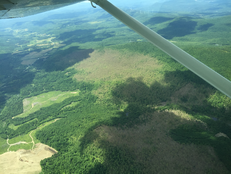
Aerial sketch mapping of defoliation, mortality, or other symptoms is a statewide survey conducted to detect tree damage, to determine its cause, and to maintain maps showing the location and extent of damage.
Dataset Availability
Downloadable: 5 datasets
See the full list of available dataTags
Status - Active
Start date: 1980-01-01
Anticipated end date: 2024-12-31
Study Area

Loading...