Northeastern Forest Inventory Network
Aggregating data, information and experts around long-term forest inventories
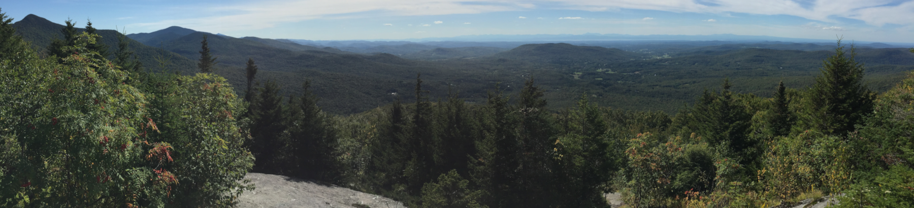
Maine Ecological Reserves Program
Name: Maine Ecological Reserves Program
Description: The Maine Ecological Reserves Program was established to monitor properties within the ecological reserve system in the State of Maine. These lands are managed by the Bureau of Parks and Public Lands, and the Maine Natural Areas Program oversees the long-term ecological monitoring plan. The Maine Chapter of the Nature Conservancy has established monitoring plots on ecological reserves it has designated on its properties as well. As of 2013, Maine has designated more than 90,000 acres of Ecological Reserves on 17 public land units.
Organization: Maine Natural Areas Program and Maine Nature Conservancy
Primary Contact: Lisa St. Hilaire
Date: 2000-01-01 to present
States: ME
Data Types Included: plot, tree, sapling, seedling
Program Link: https://www.maine.gov/dacf/mnap/reservesys/index.htm
Download Standardized Program Data & Files: meer.zip
| Name | Definition |
|---|---|
| Tree Plot Type | fixed |
| Tree Plot Expansion Factor | 0.01681 |
| Plot Projected Coordinate System | 26919: NAD83 / Vermont (ftUS) |
| Tree Min DBH | 5 in |
| Sapling Min DBH | 1 in |
| Seedling Plot Expansion Factor | 0.00135 |
| NEFIN Tree ID | Plot_ID combined with TP_ID |
| NEFIN Plot ID | Plot_ID |
| NEFIN Sapling ID | Plot_ID combined with Sap_ID |
| Sapling Plot Expansion Factor | 0.00135 |
| Program Notes | Expansion factor is 0.0168 for trees within the regular 7.31 meter radius plot. Trees falling outside the regular tree plot used the expansion factor for the larger tree plot (57.95 m), which is 0.1012. |
| Tree Plot Shape | circle |
| Sapling Plot Shape | circle |
| Seedling Plot Shape | circle |
| Tree Plot Size (side length or radius) | 7.32 m |
| Sapling Plot Size (side or radius) | 2.07 m |
| Seedling Plot Size (side or radius) | 2.07 m |
| Tree Plot Area | 168.113 sqm |
| Sapling Plot Area | 13.496 sqm |
| Seedling Plot Area | 13.496 sqm |
Data Additions
| Timestamp | Description | Changes |
|---|
Files
Packages
Scripts